Crop Health Monitoring
Manage your field assets smartly using “Actionable Intelligence” Get greater field insights with more accuracy and consistency AirNex provides detailed weekly crop health reports of area of interest. These Crop Health Reports allows you take relevant action on time to save the crops and increase the yield.
Crop health Monitoring


1st Step

UAV Station Points marked

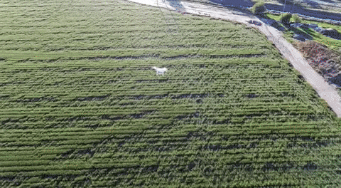
After the client has contacted us and have provided us with the area of interest our team starts the operation. Our GIS team marks the UAV station points in different location from the high resolution multi-spectral data will be collected.

2nd Step

Data Collection

Once the UAV station points have been marked our pilots go to these station points and starts collecting data from these marked location. Data is also collected by the satellite.

3rd Step

Data processing

Once the data collection is complete. The data is sent to AirNex headquarters for processing. Where it is passed through several machine learning algorithm and neural networks to generate health reports.

4th Step

Dashboard

Client is provided with access of dashboard where they can easily see all the crop reports. The dashboard is customizable and each user can customize the dashboard according to their needs.


Want Us To Monitor Crops Health ?